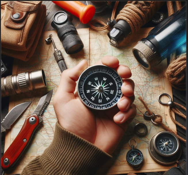

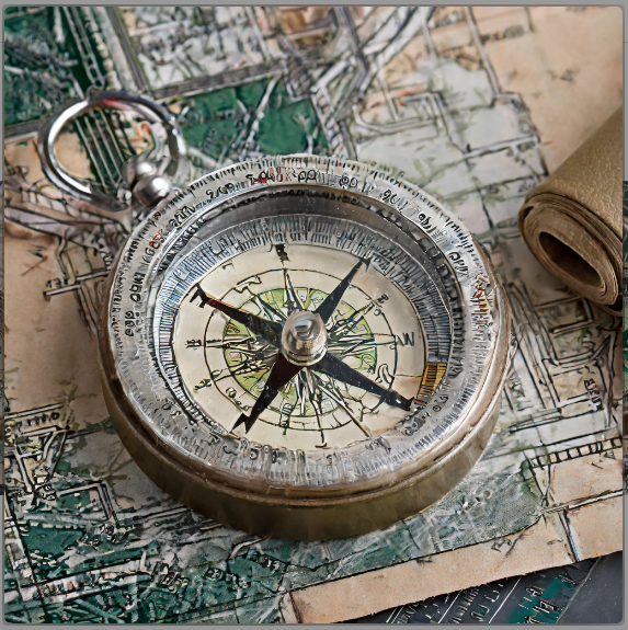
Effective navigation in the wilderness demands more than just a basic understanding of cardinal directions. To truly master the art of navigation, one must delve into the world of triangulation and compass use. This comprehensive guide aims to provide insights into the techniques of triangulation and offer valuable tips for navigating with a compass in various real-world scenarios.
Preparation with Topographic Maps:
Before embarking on any journey, it’s essential to prepare your map for effective use in the field. Follow these steps:
- Locate the Declination Diagram: Find the declination diagram on your map and align your ruler along the “MN” line for magnetic north.
- Draw Parallel Lines: Draw parallel lines on both sides of the “MN” line, focusing on the specific areas you plan to navigate.
Triangulation Process:
Triangulation involves using two or more recognizable landmarks to pinpoint your exact location on the map. Follow these steps in the field:
- Align Compass to North: Align the compass to the North, place it on the map, and rotate both until the needle points to the North.
- Align with Landmark: Align the compass with a landmark, pivot it, and draw a line along the baseplate edge.
- Repeat for Another Landmark: Repeat the process for another landmark; your precise position is where the lines intersect.
- Verification with Third Landmark: For added verification, choose a third landmark and replicate the triangulation process.
Locating Features in Real-world Scenarios:
When obstacles obstruct your view, rely on your compass for precise navigation:
- Mark and Align: Mark your current location and destination on the map, align the compass, turn the dial, and read the bearing.
- Follow Travel Arrow: Follow the direction of the travel arrow to locate objects or destinations in the field.
Identifying Peaks:
To identify peaks using your compass:
- Orient the Map: Orient the map, draw a line to the peak, align the compass, and follow the bearing to identify the peak.
Navigating Around Obstacles:
Nature may present obstacles, but with systematic detouring and “right-angle navigation,” you can navigate around impediments. Identify landmarks, maintain awareness of the landscape, and adjust your route accordingly.
Measuring Hiking Distance:
Distinguish between linear and travel distances using these methods:
- String Method: Utilize a long, flexible item, shape it along your route, and measure against the map’s scale.
- Paper Method: Align paper with the starting point, rotate it along the trail’s turns, and measure against the map’s scale.
Mastering these navigation techniques is crucial for accurate and efficient backcountry exploration. Elevate your skills further by enrolling in specialized online courses, such as the Backpacker’s Backcountry Navigation or Basic Map and Compass Skills, to ensure you’re well-equipped for your outdoor adventures.